Routes, Drive Times & Road Tips to Big BendBig Bend sits deep in far West Texas. Whether you’re coming from El Paso, Midland/Odessa, San Antonio, Austin, Houston, or Dallas/Fort Worth, choose the route that matches your arrival town and the part of the park you want...

Routes, Drive Times & Road Tips to Big Bend
Big Bend sits deep in far West Texas. Whether you’re coming from El Paso, Midland/Odessa, San Antonio, Austin, Houston, or Dallas/Fort Worth, choose the route that matches your arrival town and the part of the park you want to explore first.
Choose Your Best Route
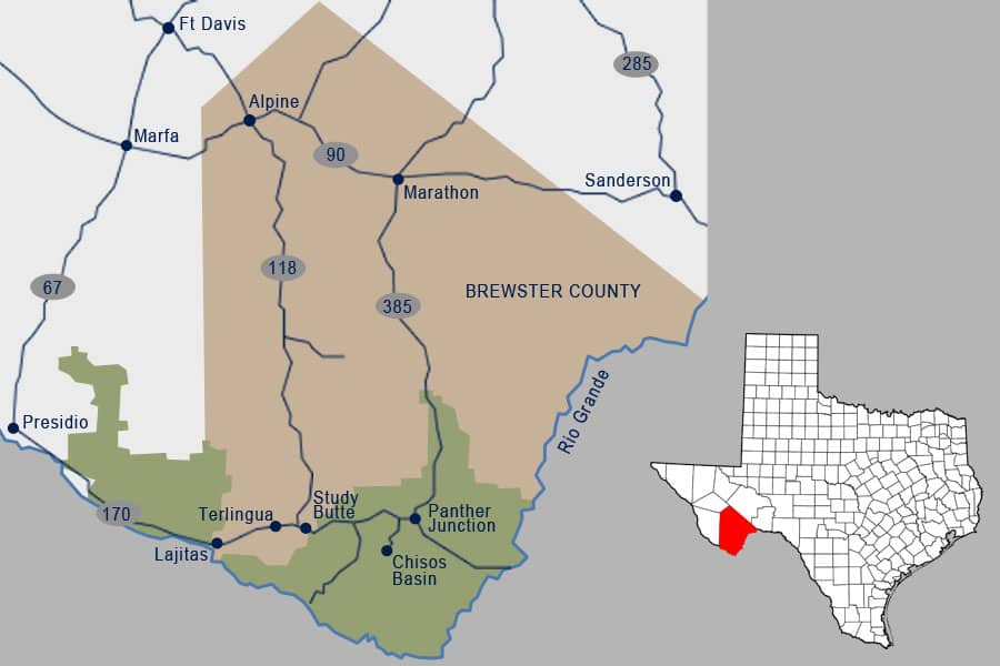
- Eastern Entrance (Persimmon Gap): via US-385 through Marathon—fast and direct to Panther Junction and the Chisos Basin.
- Western Entrance (Maverick): via TX-118 through Study Butte/Terlingua—best for Ross Maxwell Scenic Drive, Terlingua, Lajitas, and River Road (FM 170).
City-by-City Directions
- El Paso → Big Bend
- Odessa → Big Bend
- San Antonio → Big Bend
- Austin → Big Bend
- Houston → Big Bend
- Dallas/Fort Worth → Big Bend
Typical Drive Times
- El Paso: ~5–6 hours (≈330 miles) via I-10/US-90 or I-10/TX-118
- Midland/Odessa: ~4½–6 hours (≈250–300 miles) via TX-18/US-385 or FM 1776/US-67/TX-118
- San Antonio: ~7–8 hours (≈430 miles) via I-10 then US-385 or US-90
- Austin: ~8–9 hours (≈475–500 miles) via US-290/I-10 or US-90
- Houston: ~8–9 hours (≈540 miles) via I-10/US-385 or I-10/TX-118
- Dallas/Fort Worth: ~8–9 hours (≈500–560 miles) via I-20/US-285/US-90 or US-67/TX-118
Times vary with traffic, weather, construction, and stops.
Fuel, Services & Road Reality
- Top off often: Services thin out west of Fort Stockton; plan fuel stops in Alpine, Marathon, Terlingua/Study Butte, and Panther Junction.
- Inside the park: Speed limit is generally 45 mph (lower where posted). Distances are long—budget time accordingly.
- Navigation: Cell coverage is spotty. Download offline maps and carry a paper map as backup.
- Flying in? See Vehicle Rentals to Big Bend for options from El Paso, Midland, and Alpine.
Safety & Seasonal Tips
- Hydrate: Carry at least one gallon of water per person per day; desert heat can be extreme.
- Wildlife: Watch for deer, javelina, and livestock—especially at dawn and dusk.
- Weather: Spring and fall are most comfortable. Summer heat and winter freezes are possible—check conditions before you roll.
- Road kit: Bring a spare, jack, basic tools, flashlight, and a charged power bank.
Make It a Road Trip
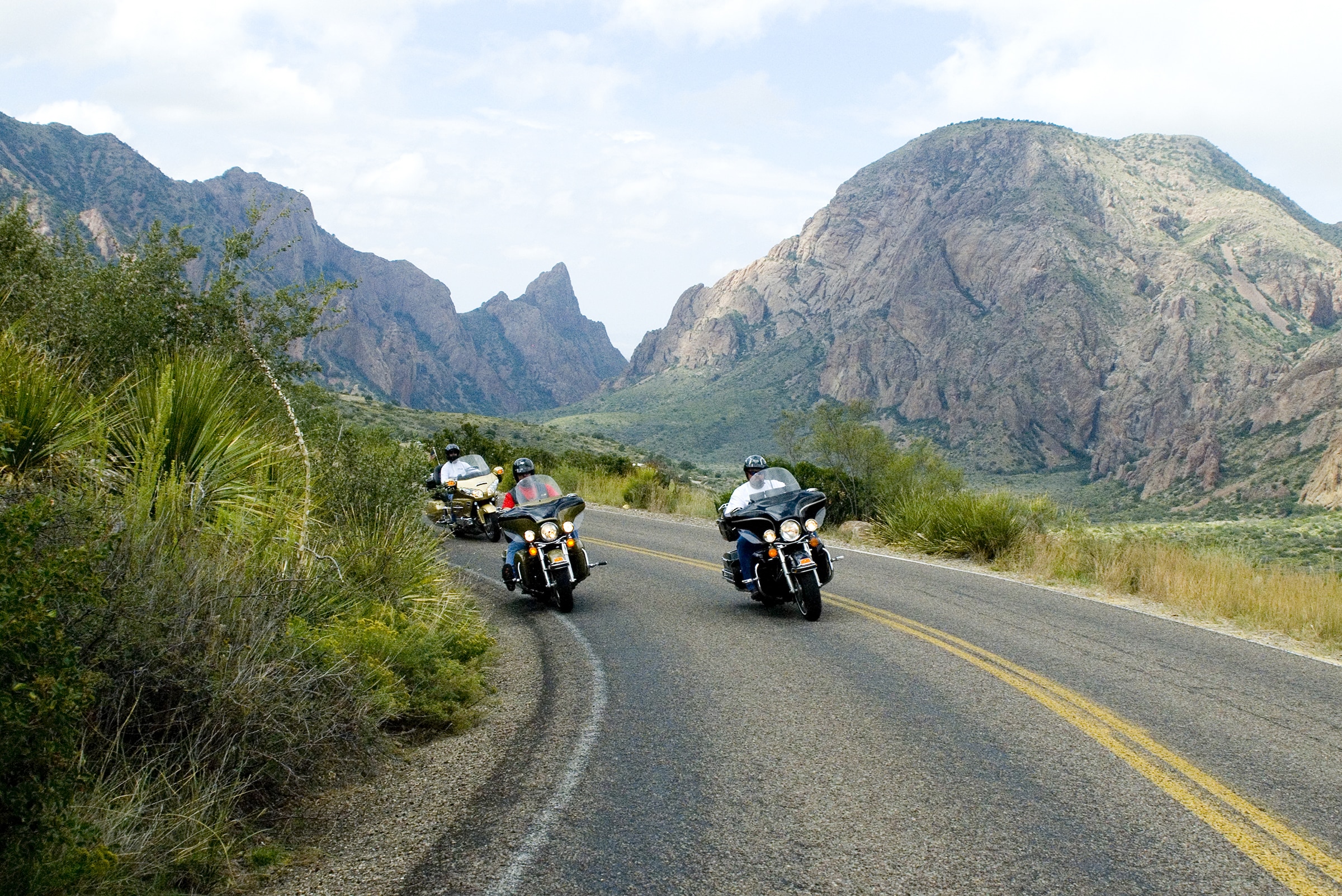
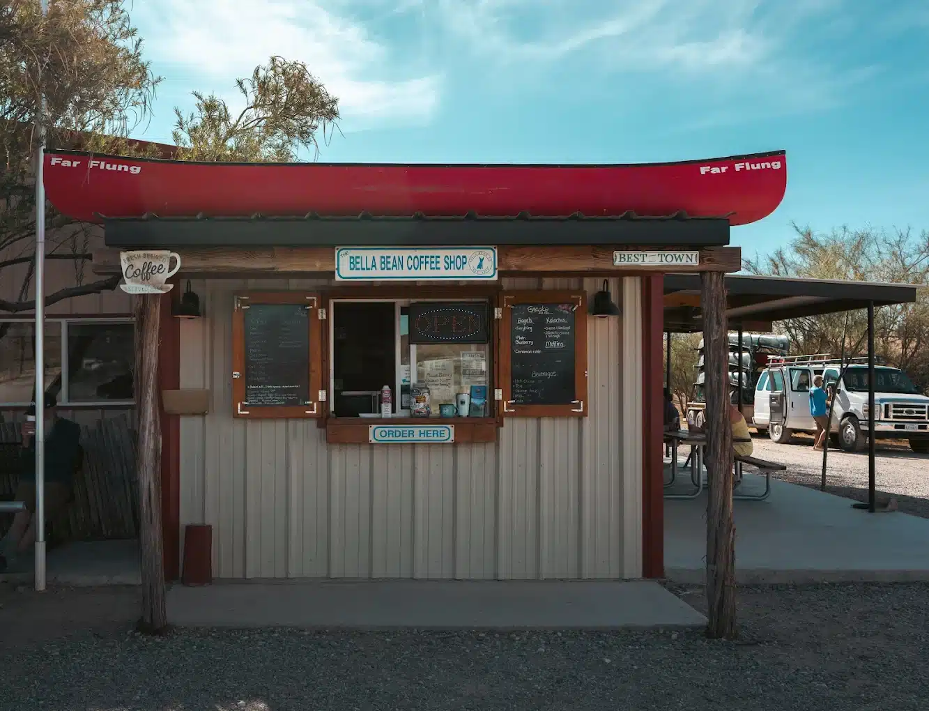
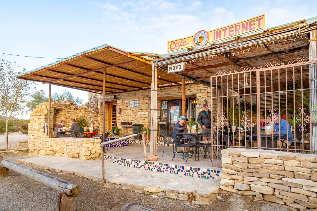
Turn the drive into part of the adventure with scenic byways, small-town cafés, and art stops. Riding on two wheels? Don’t miss the Big Bend Motorcycle Riding Guide.
FAQs
What is the best time of year to ride a motorcycle in Big Bend?
The ideal seasons are spring (March–May) and fall (September–November) when daytime temperatures average 70–85°F (21–29°C) and skies are clear. Summers can exceed 100°F (38°C), and winter mornings may drop below freezing.
Are the Big Bend scenic motorcycle routes suitable for beginner riders?
Yes! Routes like Ross Maxwell Scenic Drive and the shorter Old Maverick Road are paved, well-maintained, and perfect for newcomers. Just start with shorter loops, ride at a comfortable pace, and give yourself plenty of breaks.
How long does it take to ride River Road (FM 170) to Big Bend?
The 70-mile stretch between Presidio and Study Butte typically takes 1.5–2 hours of riding time. Plan extra time for photo stops and sightseeing overlooks along the Rio Grande.
Is cell phone service available along the scenic routes in Big Bend?
Coverage is spotty in remote areas. You’ll find service near towns like Alpine or Marathon, but deep in the park and along River Road you may lose signal. Carry paper maps, fully charge devices, and use a portable charger.
What essential items should every rider pack for a Big Bend motorcycle trip?
Bring at least 1 gallon of water per rider, high-energy snacks, a basic tool and tire-repair kit, a first-aid kit, full-face helmet, riding jacket with ventilation, extra layers, sunscreen, and a paper map. Always top off fuel whenever possible.
What’s the best time of year to drive to Big Bend?
The ideal windows are spring (March–May) and fall (September–November), when daytime temperatures in Big Bend range from 70–85°F and skies are generally clear. Summers can soar above 100°F, making mid-day travel uncomfortable, and winters often dip below freezing at night—so plan accordingly.
How do I prepare for changing road conditions on the way to Big Bend?
Before you depart, check TxDOT for live updates on construction, closures, and weather. In Big Bend’s remote terrain you may encounter gravel stretches or flash-flooded washes after rain, so drive slowly, keep headlights on, and adjust speed to match visibility and surface conditions.
Where should I fuel up and grab supplies on a Big Bend road trip?
Major towns like Alpine, Marathon, Fort Stockton, and Presidio each offer gas stations, grocery stores, and cafés. Fuel can be 100+ miles apart once you leave I-10, so top off whenever you see a station. Stock up on water, snacks, sunscreen, and basic auto supplies before entering Big Bend’s back-country roads.
Can I count on cell phone service en route to Big Bend?
Coverage is reliable near urban areas—Houston, San Antonio, El Paso, Midland—but becomes patchy once you head south on US-385 or TX-118. Within Big Bend National Park itself, service often drops out entirely. Carry paper maps, download offline directions, and bring a fully charged portable charger in case of emergency.
What general safety tips should I follow when driving to Big Bend?
-
Drive defensively and watch for wildlife (deer, javelina) especially at dawn and dusk.
-
Take rest breaks every 2–3 hours to avoid fatigue.
-
Keep water on hand—plan for at least one gallon per person per day in the desert climate.
-
Confirm your vehicle’s condition (tires, brakes, fluids) before leaving town.
-
Know your rental’s roadside assistance number and park headquarters’ emergency contacts when you reach Big Bend.