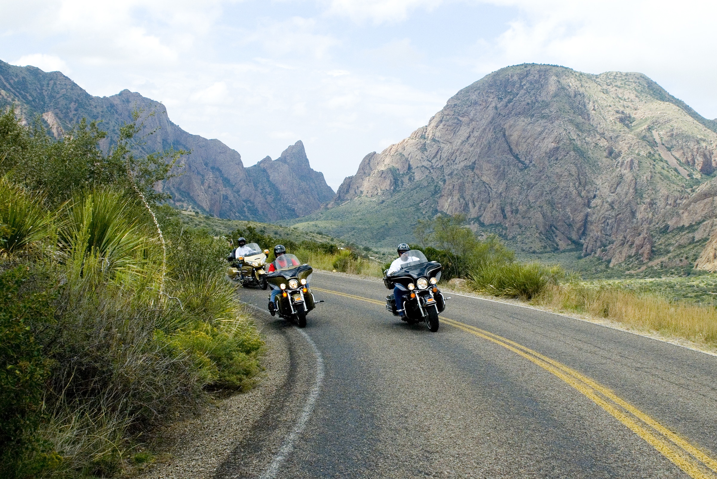
Routes, Drive Times & Road Tips to Big BendBig Bend sits deep in far West Texas. Whether you’re coming from El Paso, Midland/Odessa, San Antonio, Austin, Houston, or Dallas/Fort Worth, choose the route that matches your arrival town and the part of the park you want...
El Paso to Big Bend: Best Routes, Drive Times & Road Tips
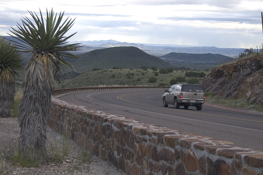
From mountain desert to river canyons, the drive from El Paso to Big Bend is a classic West Texas road trip. Plan for about 5½–6½ hours behind the wheel and roughly 300–340 miles, depending on your route and first stop (Terlingua/Study Butte, Panther Junction, or Marathon).
Primary Route: I-10 East → US-90 East (Marfa & Alpine)
The most scenic and flexible option—great if you want access to either park entrance.
- El Paso → Van Horn (I-10E): ~120 miles
- Van Horn → Marfa (US-90E): ~74 miles
- Marfa → Alpine (US-90E): ~26 miles
- From Alpine, choose your gateway:
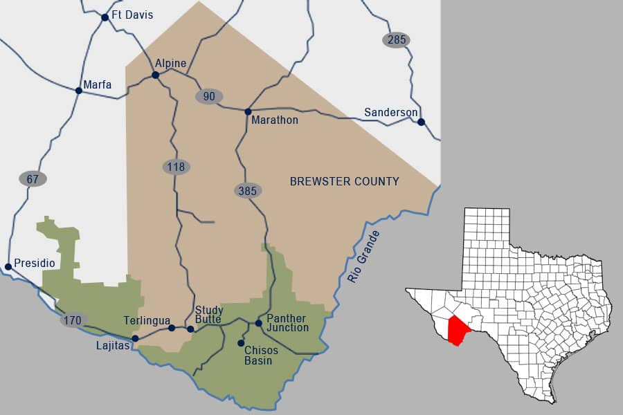
- Western Entrance (Maverick): TX-118 south ~78 miles to Study Butte/Terlingua; continue 3 miles to the park entrance. Ideal for Ross Maxwell Scenic Drive and River Road (FM 170).
- Eastern Entrance (Persimmon Gap): Continue US-90 ~31 miles to Marathon, then US-385 south ~30 miles to the park’s east entrance; ~40 miles more to Panther Junction.
Faster to the East Side: I-10 East → Fort Stockton → US-385
Best when your target is Panther Junction or the Chisos Basin and you want steady highway speeds.
- El Paso → Fort Stockton (I-10E): ~240–250 miles
- Fort Stockton → Marathon (US-385S): ~58 miles
- Marathon → Persimmon Gap (US-385S): ~30 miles; then ~40 miles to Panther Junction
Estimated Drive Times & Distances
- El Paso → Terlingua/Study Butte (via Alpine/TX-118): ≈ 300 miles, ~5½–6 hours
- El Paso → Panther Junction (via Marathon/US-385): ≈ 330–340 miles, ~6–6½ hours
- El Paso → Marathon (via US-90 or I-10/US-385): ≈ 250–300 miles, ~4½–5½ hours
Actual times vary with traffic, construction, weather, and stops.
Great Stops Along the Way
- Marfa: Artsy downtown and wide-open sky vistas.
- Alpine: Last big supply stop before the park—fuel, food, and gear.
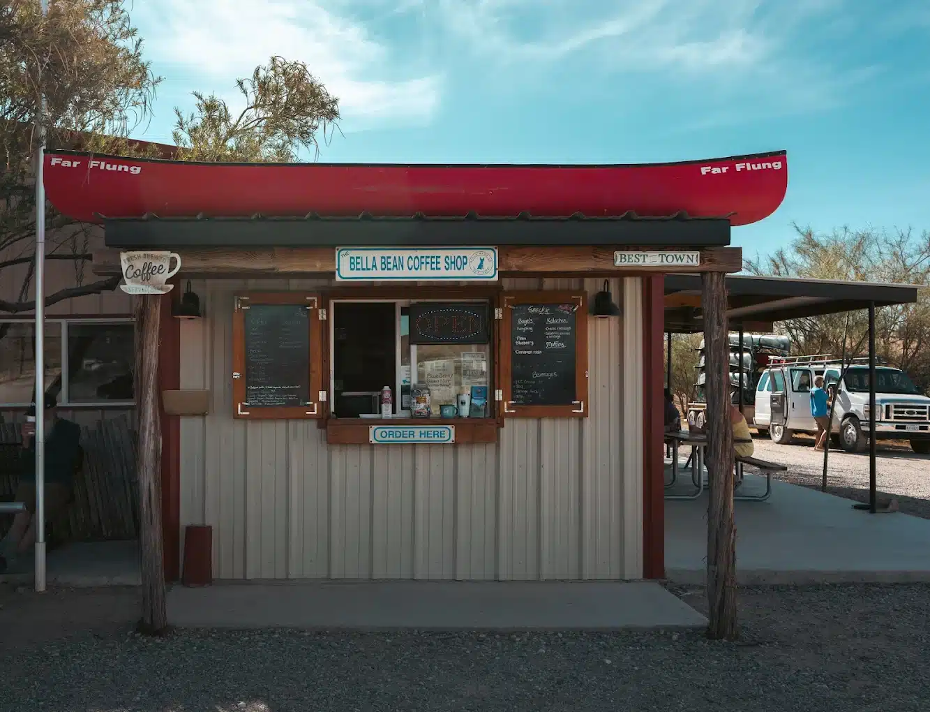
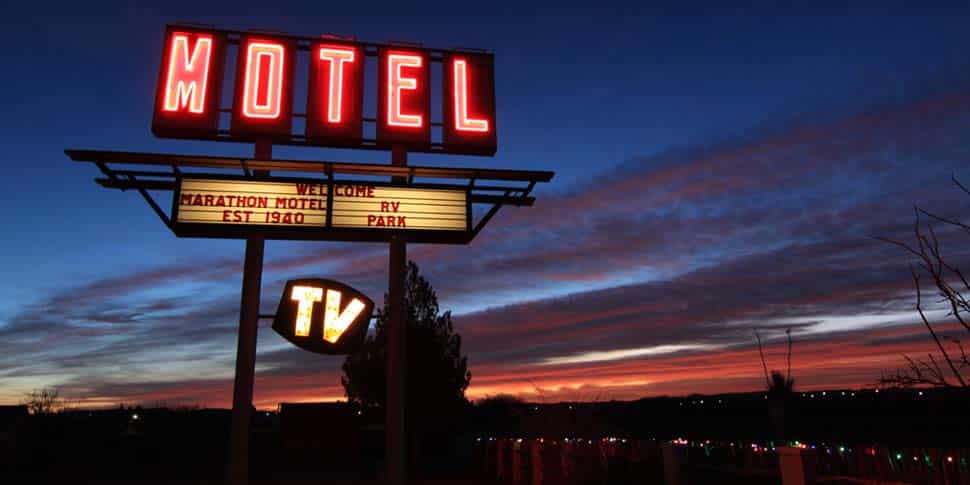
- Marathon: Gateway to the east entrance; grab coffee and top off your tank.
Road Tips, Fuel & Safety
- Top off often: Services thin out east of Alpine and south of Marathon; plan fuel in Alpine, Marathon, and Study Butte/Terlingua.
- Inside the park: Speed limit is generally 45 mph (lower where posted). Distances are long—budget time.
- Navigation: Cell coverage is spotty. Download offline maps and carry a paper map as backup.
- Heat & hydration: Carry at least one gallon of water per person per day, even in cooler months.
- Wildlife: Watch for deer, javelina, and livestock—especially at dawn and dusk.
Need a Car?
Flying some of the way or meeting friends en route? See Vehicle Rentals to Big Bend for options from El Paso, Midland, and Alpine.
More Route Guides
Explore other starting points:
FAQs
What’s the best time of year to drive to Big Bend?
The ideal windows are spring (March–May) and fall (September–November), when daytime temperatures in Big Bend range from 70–85°F and skies are generally clear. Summers can soar above 100°F, making mid-day travel uncomfortable, and winters often dip below freezing at night—so plan accordingly.
How do I prepare for changing road conditions on the way to Big Bend?
Before you depart, check TxDOT for live updates on construction, closures, and weather. In Big Bend’s remote terrain you may encounter gravel stretches or flash-flooded washes after rain, so drive slowly, keep headlights on, and adjust speed to match visibility and surface conditions.
Where should I fuel up and grab supplies on a Big Bend road trip?
Major towns like Alpine, Marathon, Fort Stockton, and Presidio each offer gas stations, grocery stores, and cafés. Fuel can be 100+ miles apart once you leave I-10, so top off whenever you see a station. Stock up on water, snacks, sunscreen, and basic auto supplies before entering Big Bend’s back-country roads.
Can I count on cell phone service en route to Big Bend?
Coverage is reliable near urban areas—Houston, San Antonio, El Paso, Midland—but becomes patchy once you head south on US-385 or TX-118. Within Big Bend National Park itself, service often drops out entirely. Carry paper maps, download offline directions, and bring a fully charged portable charger in case of emergency.
What general safety tips should I follow when driving to Big Bend?
-
Drive defensively and watch for wildlife (deer, javelina) especially at dawn and dusk.
-
Take rest breaks every 2–3 hours to avoid fatigue.
-
Keep water on hand—plan for at least one gallon per person per day in the desert climate.
-
Confirm your vehicle’s condition (tires, brakes, fluids) before leaving town.
-
Know your rental’s roadside assistance number and park headquarters’ emergency contacts when you reach Big Bend.